Development of a proof-of-concept 3D global cloud field: The construction of global 3D cloud fields based on harmonized blending of multiple cloud data from geostationary and polar-orbiting satellites is a main component of the CIRA-OVERCAST project.
The CIRA team developed a statistical Cloud Base Height (CBH)/Cloud Geometric Thickness (CGT) algorithm using NASA A-Train satellite data (CloudSat, CALIPSO, and Aqua MODIS).
The algorithm is currently operational at NOAA as part of the Enterprise Cloud Algorithm Suite and provides key information to building a 3D cloud field.
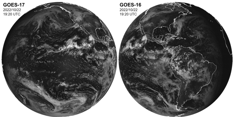
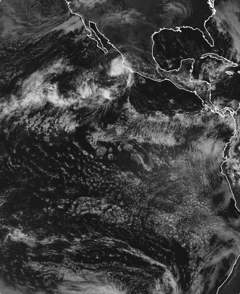
Figure: Investigation to identify potential issues to build optimized and harmonized global data fields from multiple GEO/LEO sensors. The sample of GOES-17 and GOES-16 ABI visible images over the overlapping region show that low clouds appear virtually identical between two but high clouds show parallax displacement relative to nearby low clouds. Two images show different sun glint areas.
We have been producing cloud products from the CLAVR-x cloud retrieval processing system where the NOAA Enterprise cloud algorithms are embedded with research updates as a prototype development tool, and these products are being released to the public through CIRA’s SLIDER. We are extending this effort to complete the whole global coverage including polar regions.
For advanced global 3D cloud structure estimation, we will adopt the science algorithm improvements, leveraging CIRA’s NOAA-funded JPSS and GOES-R research with our collaborators. With the support from CIRA’s strategic effort on ML/AI research via the NSF AI Institute for Research on Trustworthy AI in Weather, Climate, and Coastal Oceanography (AI2ES), ML/AI approaches will be explored and adopted to provide improved global cloud products.


