Multilayer clouds: The current CBH/CGT products are still optimized to single-layer clouds.
Opportunities for improvement of techniques for multi-layered systems will involve satellite/model
fusion and ML techniques.
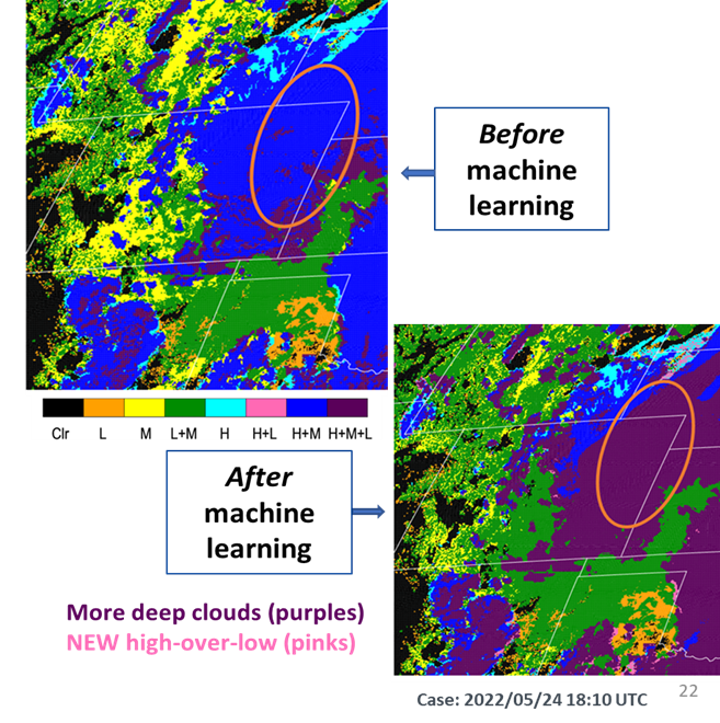
We have applied ML/AI to detect the presence of low clouds using ABI bands and
NWP model humidity fields trained against the “truth” from co-located CloudSat radar and CALIPSO lidar
observations.
We will attempt to expand this research for a better representation
of lower level cloudiness over the globe by applying ML models to various sensors through channel
adjustments and input optimization.
Nighttime clouds: we will adopt a data-fusion approach, utilizing VIIRS Day/Night Band (DNB) lunar
reflectance with numerical weather prediction (NWP) model, IR, and microwave for nighttime retrievals.
ML methods will be explored to calculate cloud water path for improved nighttime CGT. We will also
attempt to develop synthetic Day/Night Band adopting AI/ML techniques, leveraging CIRA’s Proxy VIS
research.
Transition to GeoIPS: Products developed as a part of this project are required to be transitioned
to the Navy through integration with the Geolocated Information Processing System (GeoIPS).
AI-based cloud water profile estimation: Multi-output learning, in particular, holds promise as a
method of retrieving entire profiles of hydrometeor occurrence from passive satellite imagery, and we will
explore ways to use this to supplement our current approach in problematic multilayer situations.
AI-based global hi-resolution microwave data and synthetic radar data: We have developed deep
learning approaches to produce hi-resolution microwave data (89-GHz Imagery generation from geostationary
satellites) and synthetic radar reflectivity (GREMLIN that fuses ABI and GLM data). We will expand these
efforts to achieve global coverage.
D-CFLOS: The Probability of Cloud-Free-Line-of-Sight (PCFLOS) is a tool to calculate the probability
that a visible line-of-sight exists through the atmosphere between an observer and a target potentially
obstructed by clouds, which is an effective measure to characterize the cloud environment and determine
the safest altitude to fly while still maintaining a view of ground targets.
Leveraging CIRA’s research to develop global PCFLOS climatologies using CloudSat/CALIPSO observations,
we will introduce a new deterministic version based on the 3D cloud structure information.
The “D-CFLOS” estimate, will be practically instantaneous on a global scale, and can be used to support
model forecasts of cloud cover (e.g., model verification and initialization).
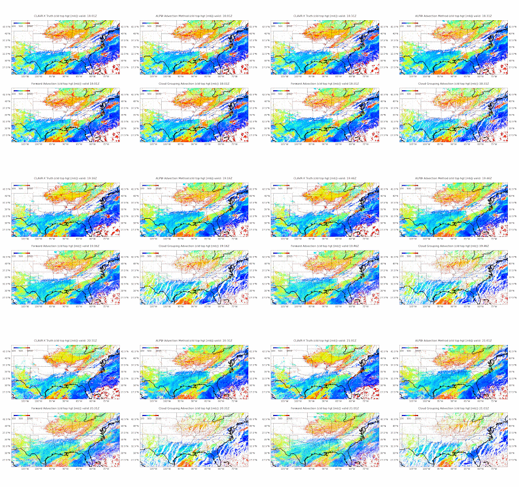
Short-term advection: We will explore the potential of CIRA’s Dense Optical Flow research in the
context of producing enhanced temporal resolution 3D fields between the standard analysis times, as well as
potential short-term advection of the analysis field utilizing model data fusion.


