OVERCAST

Optical Variability Evaluation of Regional Cloud Asymmetries in Space and Time


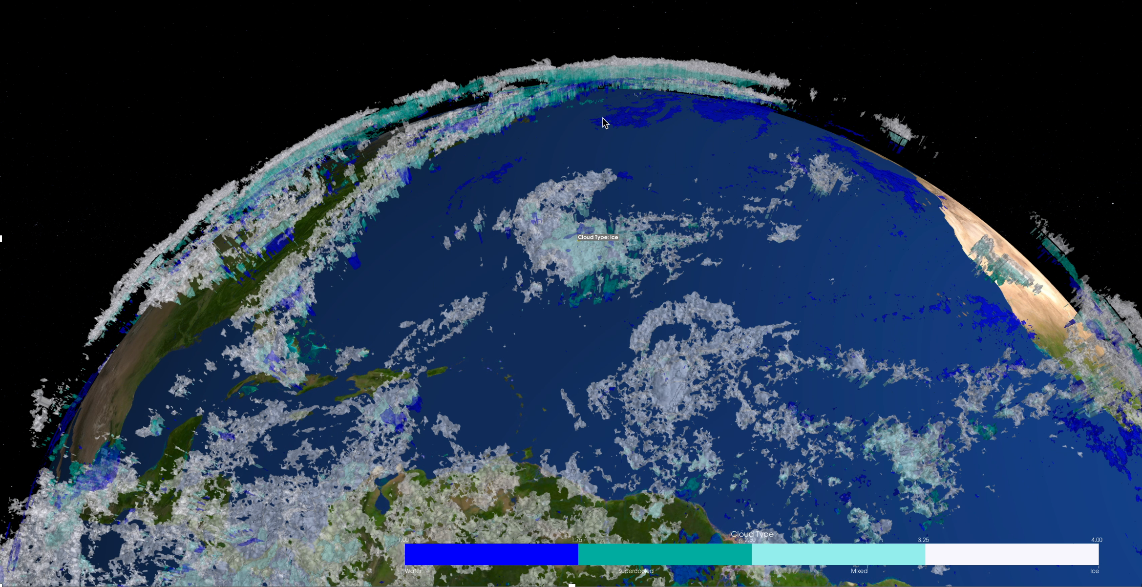
a project aimed at creating a global, 3D, near real-time atmospheric cloud field analysis based on existing satellite sensors operated by a variety of agencies worldwide.

    Goal:
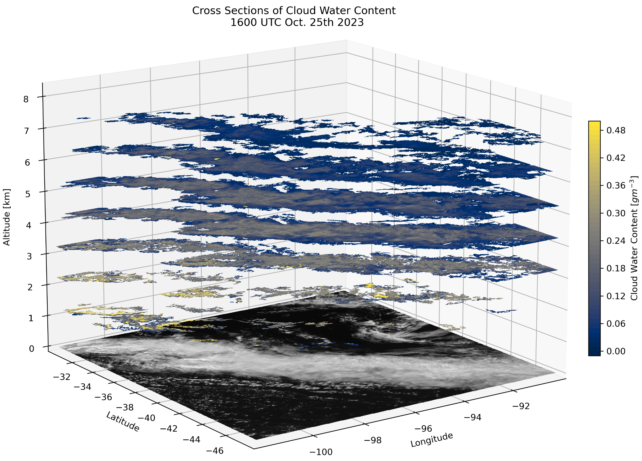
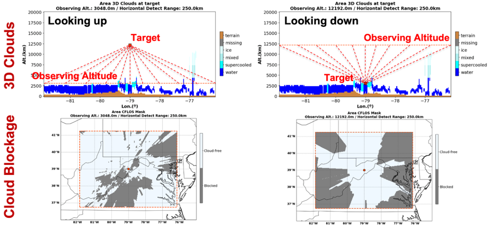
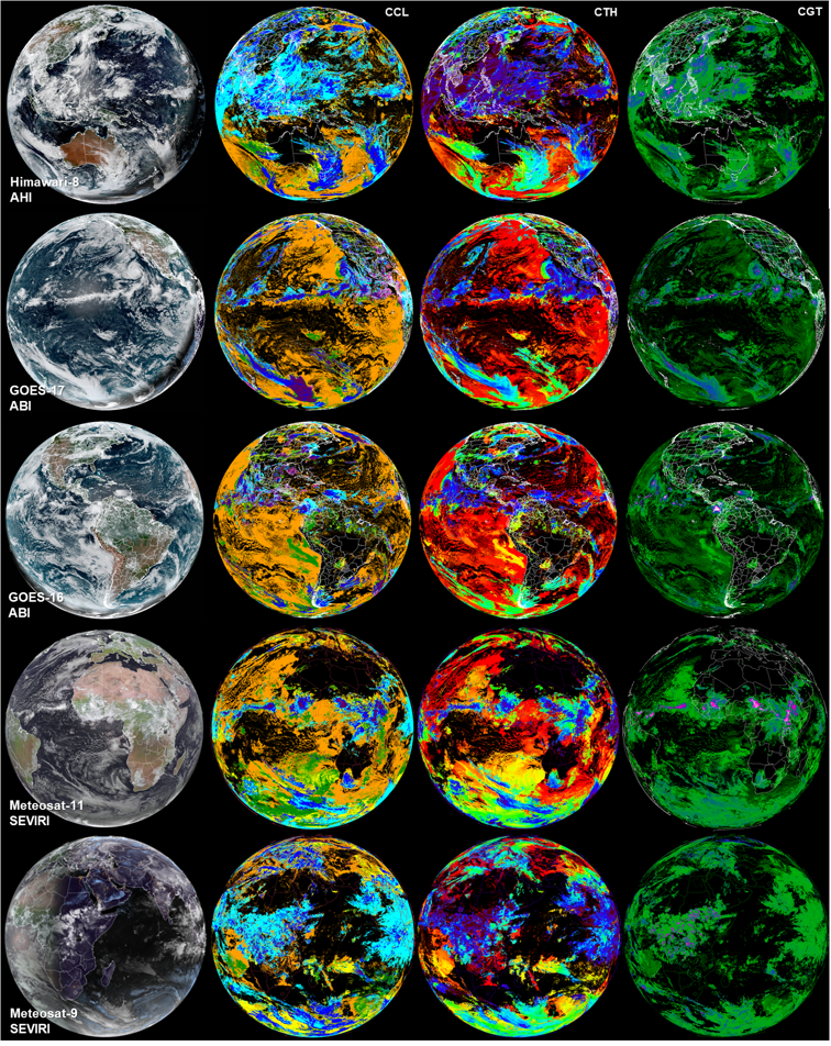
    Accurate estimate of cloud structures in three spatial dimensions, as well as time.

    Products:
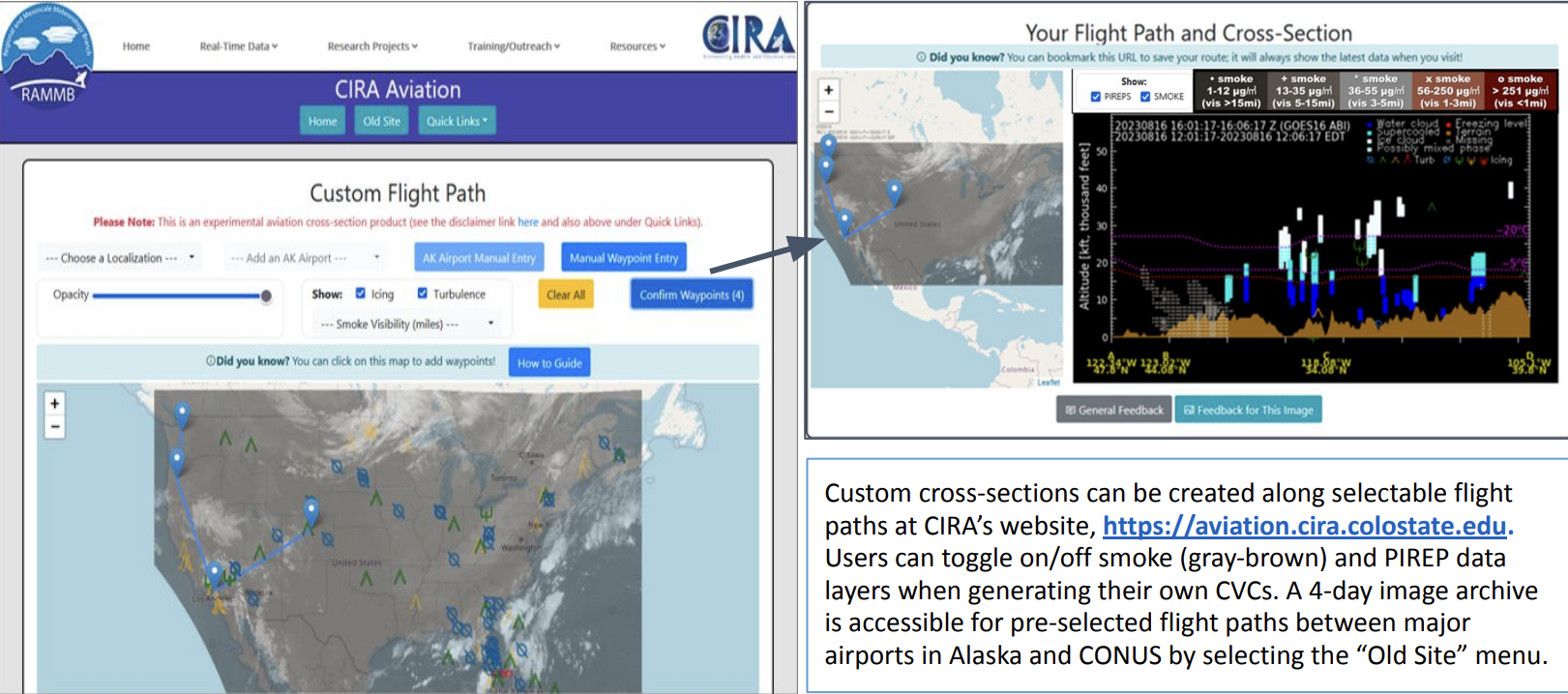
    A variety of real-time, observation-based 3D cloud and ancillary products.

    Motivation:
    Supporting Department of Defense (DoD) operations, civil applications, and basic scientific research.
    Participants:
    Researchers, postdocs, and graduate students at CIRA and the Department of Atmospheric Science (ATS), units of the Walter Scott Jr. College of Engineering (WSCOE) at CSU in Fort Collins, CO.
    Researchers and staff at CIMSS (University of Wisconsin, Madison, WI) and the Naval Research Laboratory (Monterey, CA).

    Sponsors:
    US Navy Office of Naval Research (ONR) and the Naval Research Laboratory (NRL).


1 / 2

What's New


Figure 1


Cloud Water Content (CWC):
We are now producing experimental vertical profiles of cloud water content (CWC), combining CLAVR-x cloud-top height, cloud-base height, and cloud water path with our own neural network retrievals of the vertical distribution of cloud water (Figure 1). These vertical profiles are produced at an hourly cadence for the entire OVERCAST grid using five geostationary-ring sensors. Since cloud water path estimates rely on visible channels, cloud water content profiles are also only available during daylight hours. We are currently exploring the viability of neural network retrievals of cloud water path based on only infrared channels.

2 / 2

What's New


Figure 1


Deterministic Cloud-Free Line Of Sight (D-CFLOS):
Flexibility has been added to the deterministic cloud-free line of sight (D-CFLOS) module to allow any viewing angle in 3D space, thus allowing target placement above or below a mobile observer. In figure 1, the top row shows profiles of 3D clouds from the CIRA OVERCAST algorithms, and the bottom row shows corresponding output from Area-to-Point (A2P) D-CFLOS calculations using 3D cloud data, with regions of cloud blockage in gray shading.


Science Research

1 / 5

Development of a proof-of-concept 3D global cloud field....

Read More


Demonstration Research

2 / 5

Merging cloud products....

Read More


Application Research

3 / 5

Multilayer clouds....

Read More


Validation Research

4 / 5

Learn more about our Validation efforts....

Read More


Visualization Research

5 / 5

Visualize clouds in 3D....

Read More